The MIMIR (Mission-Relevant Information Management for Integrated Response) project addresses the issue of how to support the current and future information needs of naval decision makers onboard Royal Canadian Navy (RCN) vessels.
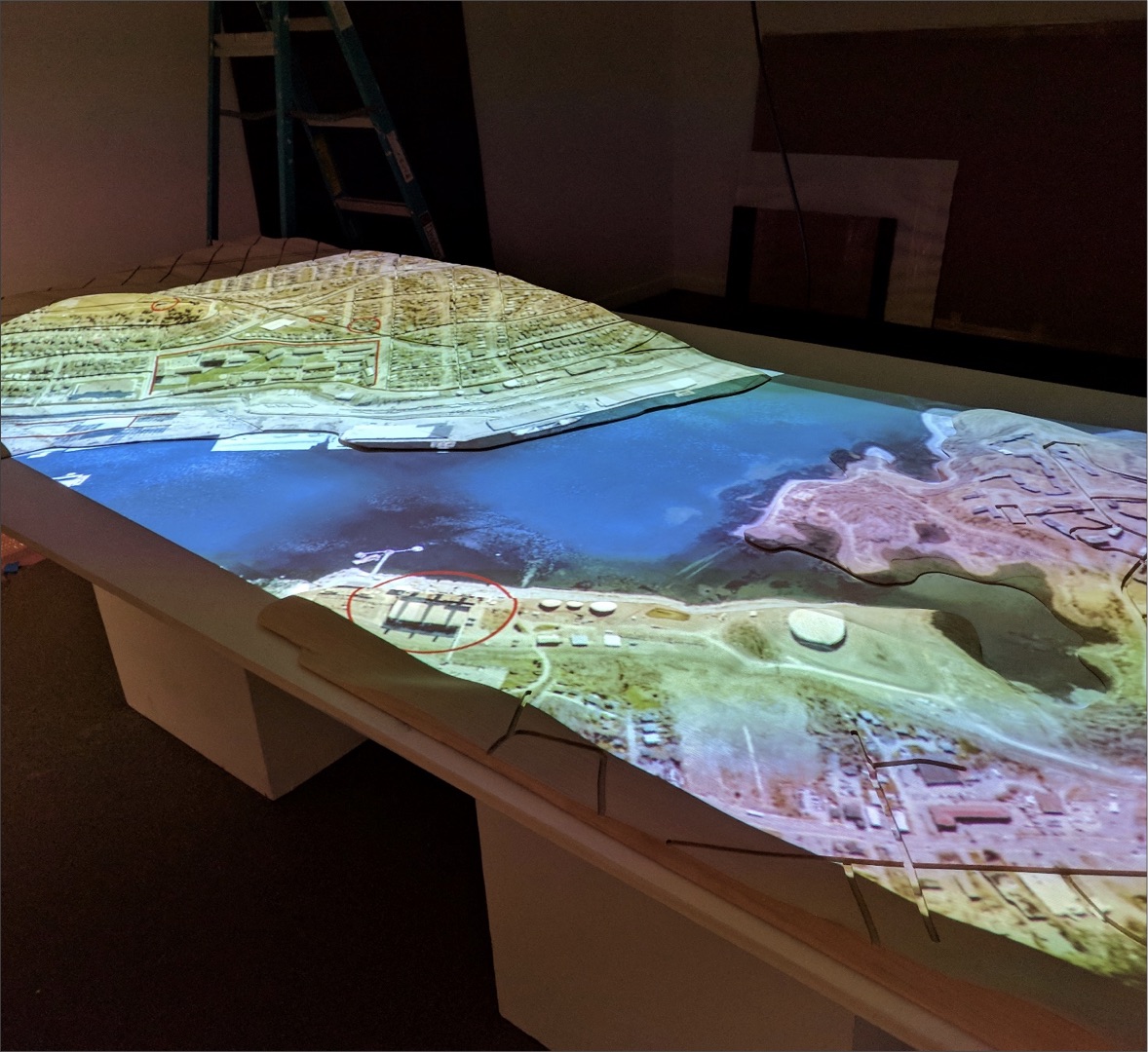
In the MIMIR project the Graphics and Experiential Media lab has been exploring the potential of next generation user interface technologies as tools for subject matter experts to visualize, query, and manage large, diverse maritime datasets. Inspired by scenarios involving coast guard, research vessel, and naval operations, and informed by the work of our collaborators in the Institute for Big Data, we propose as a basic platform tabletop geospatial visualization augmented in 3D via volumetric displays and/or head worn augmented reality displays, in a manner that supports both collocated and remote collaboration. All of our research on the project to date has focused on key facets of this general concept.
The lab has employed a variety of methodologies on the project thus far, including design-as-research, agile prototyping, participatory design, controlled lab experiments, and field experiments. By taking a mixed methods approach we are able to ask a wider range of questions and triangulate findings to build a more complete understanding of how the proposed platform might be used effectively in the target scenarios.
Collaborators:
- Dalhousie Institute for Big Data Analytics
- Defence Research and Development Canada (DRDC)
- Lockheed Martin Canada